Routes
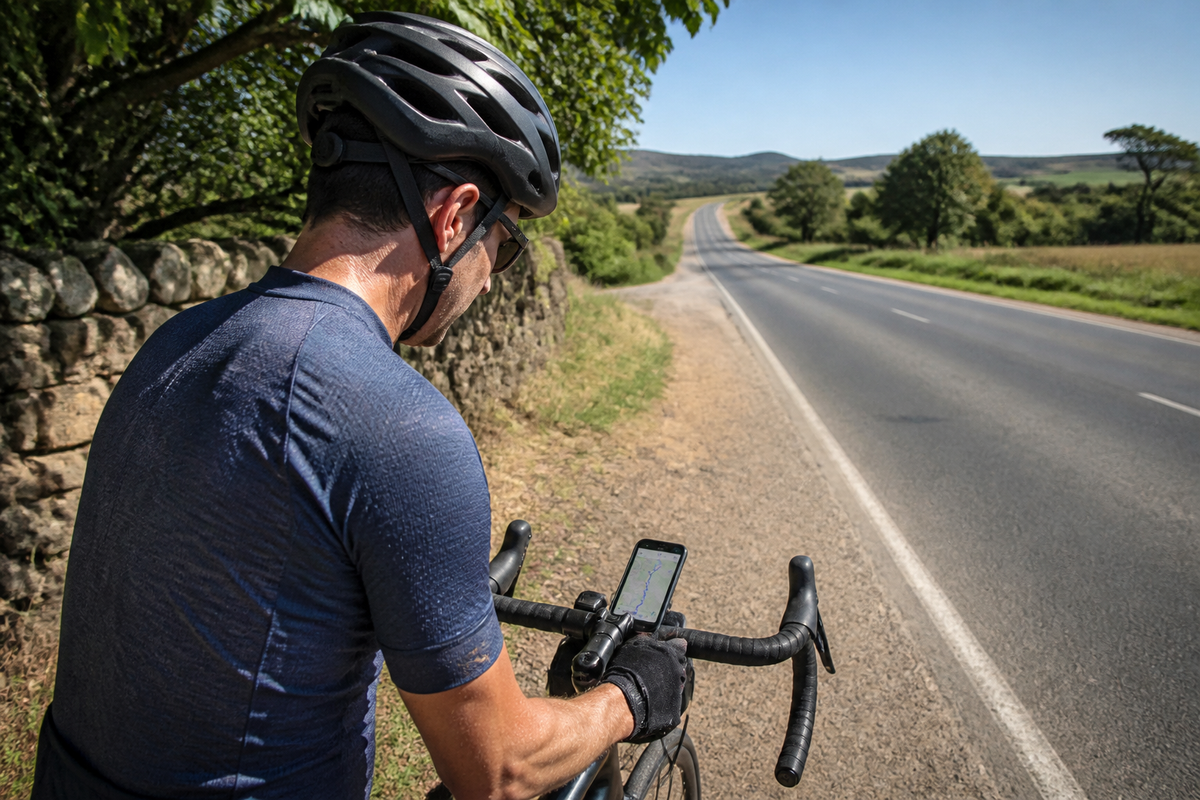
A map tells you where a road goes. It does not tell you whether the surface is smooth, the traffic is bearable, or the light will be in your eyes.
Route maps have become very good at telling you a line exists. What they are still poor at is telling you what that line is actually like. Gradient profiles are reliable; surface condition, traffic volume, and how a road looks at a specific hour are not.
Treating a map as a plan rather than a suggestion is the single most common route-planning mistake. Here is how to read maps more critically.
What maps are good at, and what they are not
| Question | Map reliability | How to verify |
|---|---|---|
| Does a road exist and connect? | High | Nothing further needed |
| Gradient and distance | High | Elevation profile is trustworthy |
| Surface type | Medium | Satellite view, local knowledge |
| Traffic volume | Low | Forums, local clubs, trial and error |
| Light and views | Very low | Ride it, or check satellite imagery |
| Current road condition | Low | Local reports only |
The pattern is clear: objective geometry is reliable, lived experience is not. Plan the geometry from the map, and get everything else from people who ride there.
Choose the right tool for the job
Different tools answer different questions, and using one for everything is why route planning feels frustrating.
- Turn-by-turn navigation: for following the line on the day. Optimised for guidance, not discovery.
- Heatmap and popularity data: for seeing where riders actually go. Excellent for finding roads that are not on curated lists.
- Elevation-first planners: for building a route around a specific climb or profile.
- Satellite imagery: for checking road width, tree cover, and whether a "road" is actually a track.
A practical workflow: use heatmaps to find candidate roads, satellite to sanity-check them, an elevation planner to build the loop, then navigation on the day. Confirm the result with a local source before committing to a long ride.

Common mistake:: planning a route entirely from a curated list. Popular routes are often popular because they were copied, not because they are good. Verify at least one unfamiliar section before you commit an entire day to it.
Plan capture points, not just waypoints
If you record your rides, add a second layer to the route plan: where you intend to capture.
- A summit or high point: natural anchor for the footage
- A descent start: the moment worth recording begins
- A view or landmark: a single frame that tells the story
- A safe stop: where you can pause without holding up traffic
Marking these in advance changes how the ride feels. Instead of recording continuously and hoping, you capture three or four deliberate sections and skip the rest. On a long route this also preserves battery for the parts that matter.

Read the map for what it hides
Three details are consistently under-represented on maps.
1. Urban transitions. A route that leaves a city often spends several kilometres in traffic that no map warns you about. 2. Surface changes. A road can change from smooth tarmac to rough chip seal at a boundary, and the map will not show it. 3. Exposure. A road across open moorland or a coastal stretch can be far windier than a sheltered alternative of the same length.
If any of these appear in your plan, build in a bail-out option. A connecting road that shortens the route is worth more than a perfect plan.
Match the plan to the recording
Route and recording choices interact, so plan them together.
- Short loop: record the whole thing, one battery charge is plenty
- Long route: record selected sections; plan power accordingly
- Gravel: expect constant motion; stabilisation matters more than resolution
- Touring: storage and charging become the primary constraints
For longer days, the practical arrangement is to record deliberately and charge deliberately. Rover records up to about one hour of continuous video from the glasses, extended to roughly five hours of recording with its own power bank, subject to settings and conditions. A bar-mounted Bluetooth Controller lets you start and stop capture without leaving the bars.
Practical note:: if a route includes sections you do not intend to record, plan to turn the camera off rather than editing around the footage later.
Verify the plan with one ride
No amount of mapping replaces a single ride on the route. Do a short version first: same roads, fewer kilometres. You will learn the surface, the traffic, and where the light falls, which is information no tool provides.
Then update your plan and keep the note. Over a season this becomes a personal route library that is far more accurate than any public list, because it reflects your roads and your riding.
For the underlying method, start with how to plan a bike route for recording. If you are choosing roads rather than mapping them, finding and judging road cycling routes covers that, and AI Video Roadbook shows how a recorded route can be turned into a ride story afterwards.
FAQ
What is the best cycling route planner?
There is no single best one, because they optimise for different things: some for following a line, some for discovering popular roads, some for building a specific elevation profile. Use heatmap data to find candidate roads and an elevation planner to build the loop.
Why does my planned cycling route feel harder than the map suggests?
Usually wind exposure or surface. A route across open ground or along a coast can be significantly harder than its distance and elevation suggest, and maps rarely represent wind or rough surfaces clearly.
Can I plan a cycling route with just satellite imagery?
It is useful for checking road width, tree cover, and whether a path is genuinely rideable, but it will not show gradient or traffic. Use it alongside an elevation planner rather than on its own.
How do I find quiet roads for cycling?
Heatmap data shows where riders actually go, which tends to highlight quiet roads that curated lists miss. Confirm with a local club or shop, and test one unfamiliar section before committing to a long route.
How many capture points should I plan for a ride?
Two or three is usually enough for a short ride, and four or five for a long one. More than that and you will spend the ride managing the camera rather than riding, which defeats the purpose.